Don’t Let Complexities Stifle Aerial Data Collection
An effective response to an at-sea oil spill requires quality aerial data collection and analysis. That may include equipment you don’t have and visual data your employees don’t comprehend. Even choosing when and where to send collection assets can be confusing. But don’t let the complexities of aerial data gathering prevent you from executing a robust, targeted assimilation of information and an in-depth and accurate assessment of the imagery you receive.
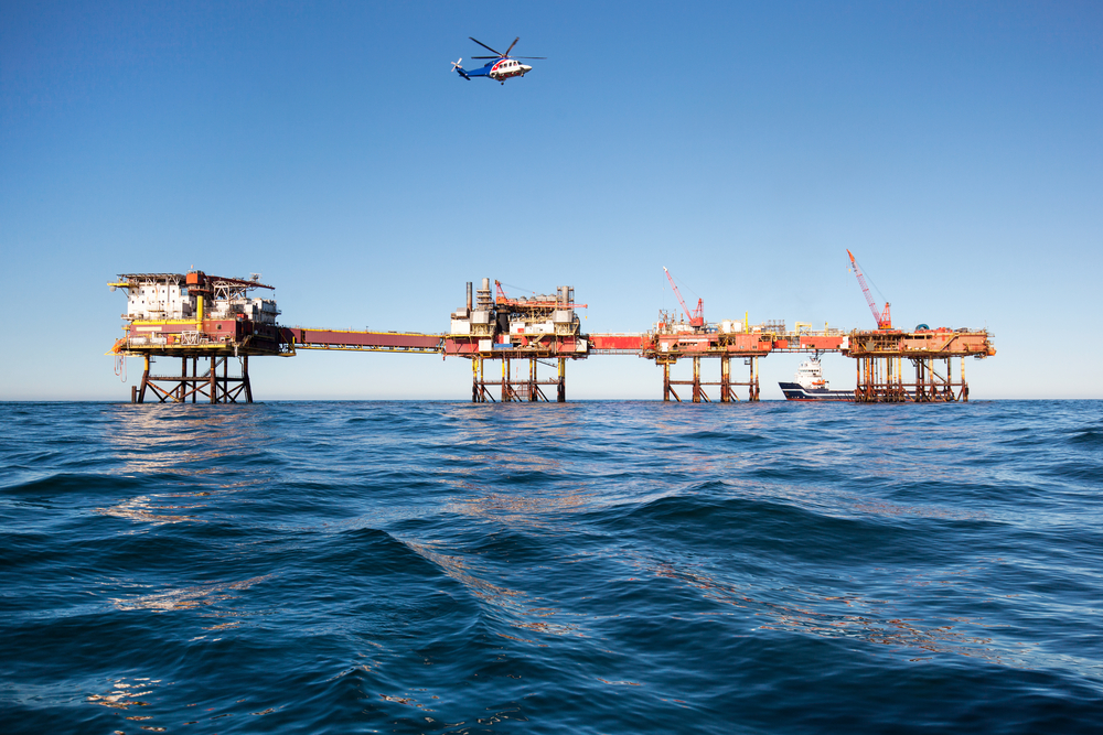
The first step is to get a few members of your spill-response team pre-trained on the basics of spills, oil migration, weather, terrain, types of aerial imagery, and unmanned aerial vehicles (UAVs or drones). Keep in mind that aerial imagery is available from all sorts of sources, including satellites, drones, balloons, planes and helicopters, to name a handful. These resources provide their own insights and have their particular weaknesses as well as strengths. You will most likely have to rely on multiple imagery partners for collection, depending on the weather and the location of the spill.
The National Oceanic and Atmospheric Administration offers training in aerial observation of oil spills. It is critical that those you hire to perform flyovers know what they are looking for, how to record what they see (including oil slick characteristics and on-scene conditions), and how to communicate their findings in language that can be clearly understood by spill-response teams. You may also be interested to know that the Civil Air Patrol (CAP), an all-volunteer force of highly trained personnel, might be available to fly data-collection missions. The CAP flew more than 700 miles of missions during the Deepwater Horizon catastrophe. A single CAP wing typically takes 3,000 photos each day, creating a collage or panorama of the shoreline and sea to help spill responders decide on their next moves. The CAP’s proficiency in low-level over-water operations and familiarity with local airports, islands, and ecology make the organization an extraordinarily valuable asset. The CAP, an official auxiliary of the U.S. Air Force, is a nonprofit group and, as such, charges a fraction of what it costs to operate military or privately owned planes. It’s “low and slow” single-engine aircraft are well suited for the sort of aerial reconnaissance needed for an offshore oil spill.
Dynamic Nature of Spills
Oil spills are not only affected by their physical environment; they also change their chemical composition over time, meaning the response must be equally as dynamic. Both short-term and long-term airborne sensors are needed to mount a comprehensive response. Remote sensing is an option—maybe the best option—in certain situations, such as when the oil can’t be distinguished from the ecological background or from other intentional discharges from municipalities or commercial operators; in fog or darkness; and in areas that are too large to map. In many instances, surface oil isn’t visible to the naked eye and underwater terrain can obfuscate the affected area. In these cases, cameras and scanners in the visible, infrared and ultraviolet spectra are limited and need enhancement from other sensors, such as laser floor sensors, which provide day/night capabilities and interact with compounds in the oil to create fluorescence. Radar, night-vision optics, and microwave technology are all options to consider in your aerial data plan. NOAA provides a fairly thorough yet digestible overview of sensor technology as it applies to spill evaluation and cleanup.
High-quality sensors and aerial imagery will always yield a geo-coded, time-stamped signature so the progress of the spill can be measured over time and space, even in hindsight—an important component in legal, forensic and regulatory matters.
Keep in mind that aerial imagery often exists on open-source platforms prior to oil spills. Gaining access to those data is an important component of your overall assessment and cleanup effort. The Department of the Interior may be your best initial resource for this kind of imagery, which sets the baseline target for a successful spill response. Part of what your company will be expected to do includes a post-mortem on the affected area and your remedial actions. In our next blog, we will talk about the components of an aerial imagery work plan, including quick-look imagery, mapping, data sharing, and imagery management.
About WQIS
Since 1971, WQIS has been involved in more vessel pollution events than any other marine pollution provider. Having the right team immediately available in the event of a loss is crucial for mitigating damages, getting clients back to an operational status and the claims process. Our team is made up of an extensive network of trusted professionals to assist from the moment a spill occurs until the spill is cleaned up. For more information about our insurance solutions and services, call us at 212-292-8700.
Sources: NOAA, Civil Air Patrol-Maryland Wing